Geospatial Files Example
Example
You can download a selection of Geospatial files which you can ingest into any project.
The are saved into a zip file. You can ingest the zip file and Sintelix will unpack the zip file to ingest the example Geospatial files.
The examples demonstrate different:
-
file formats (KMZ, GeoJson, SHP, and Geotif)
-
types of Geospatial information (points, routes and shapes).
Using this example
You can:
-
Download the Sample file which contains sample geospatial files.
-
Add the Sample File into a Collection.
You can add the zip file directly into Sintelix, you do not need to extract the files first. Sintelix will extract the files from the zip file for you.
-
View the ingested Documents.
For more information about investing and viewing Geospatial Files, see Add (Ingest) Documents, Viewing Maps and Geospatial Files.
When viewing maps, the default map has limited zoom. Change maps to be able to zoom in closer into maps.
Version: Sintelix 8
This example is designed to work in Sintelix 8.
Download
Click on the link below to download the sample files:
Demo Video
To view the video in full screen, hover over the video and select the
![]() icon.
icon.
Sample Files
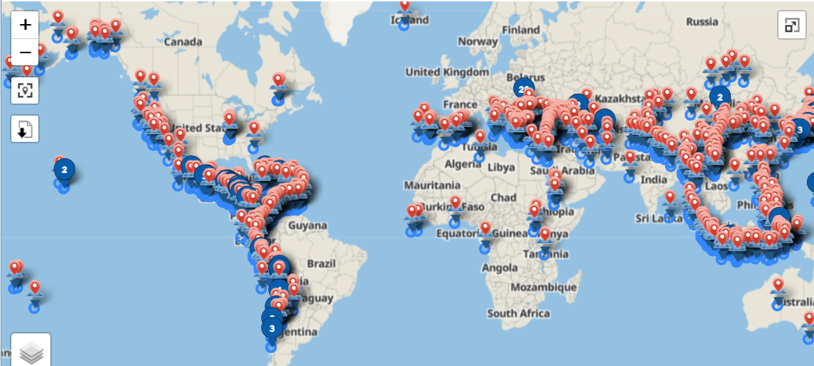
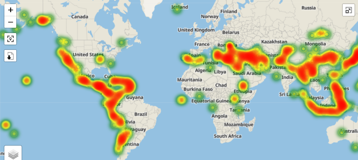
Historical Earthquakes 2000-2903 (GeoJson)
This file contains many geographical points. This file is useful for demonstrating the Heatmap feature when viewing maps.
By default, Geolocations are displayed showing multiple map markers on the map.
To view the Heatmap:
-
Click on the Map Settings icon

-
select the Heatmap option
-
unselect the Geolocations option.
| Source: | |
| Filename: |
global_historical_earthquakes_1000_1903.geojson |
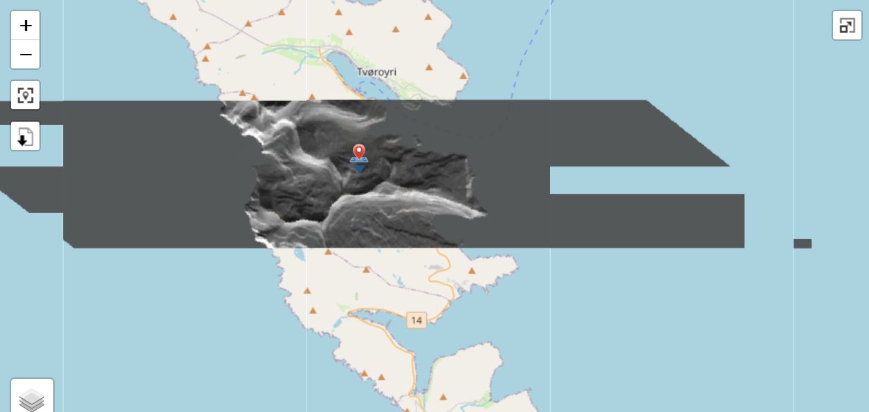
Artic Island (GeoTif)
This file demonstrates the GeoTif format. This is a small GeoTif showing elevation shading in Greyscale for part of a small island in the Artic.
| Source: |
https://portal.opentopography.org/arcticDem?opentopoID=OTSDEM.112018.3413.3 |
| Filename: |
ArcticDEM_hillshade.tif |
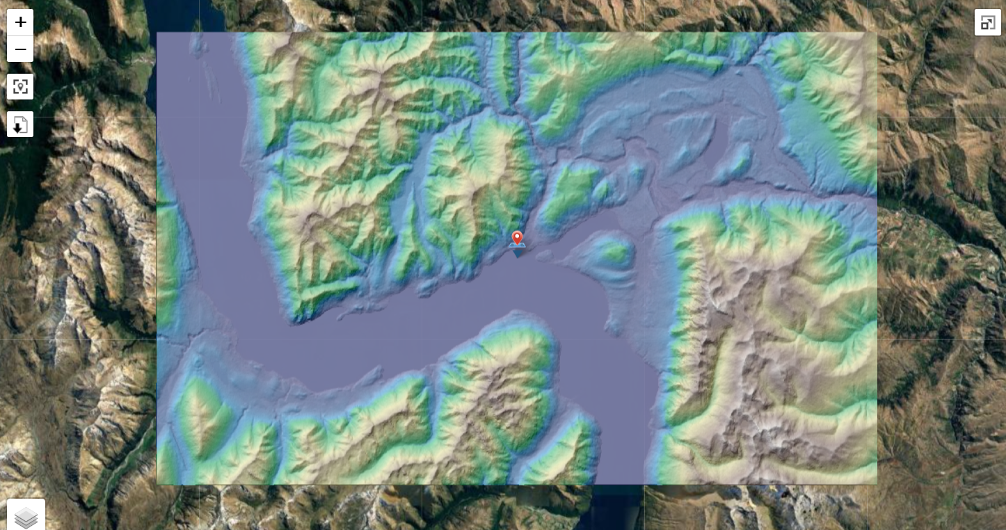
South Island, New Zealand (GeoTif)
This file demonstrates the GeoTif format. This is a small GeoTif showing elevation shading in colour for the part of the South Island of New Zealand, including Mount Cook.
| Source: |
https://portal.opentopography.org/raster?opentopoID=OTSDEM.032021.4326.2 |
| Filename: |
viz.NASADEM_color-relief.tif |
Macquarie Island Walking Tracks (SHP zip)
This file demonstrates the SHP format showing routes.
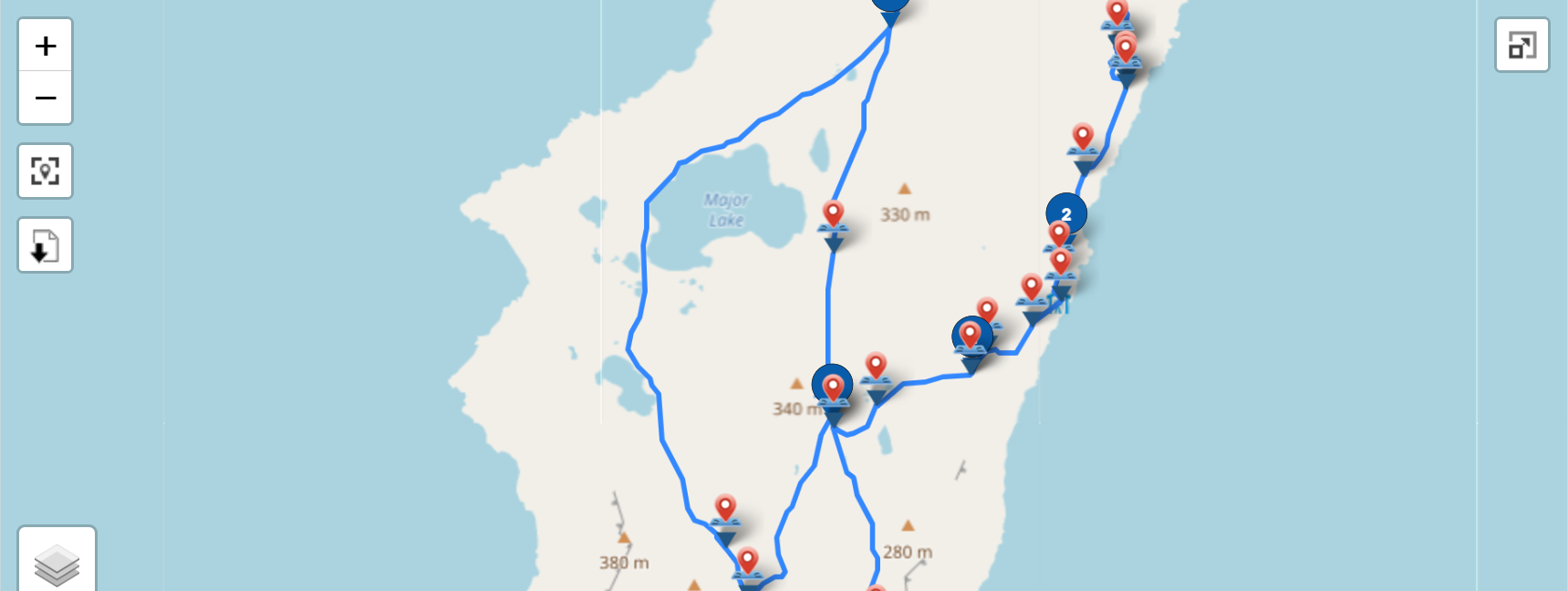
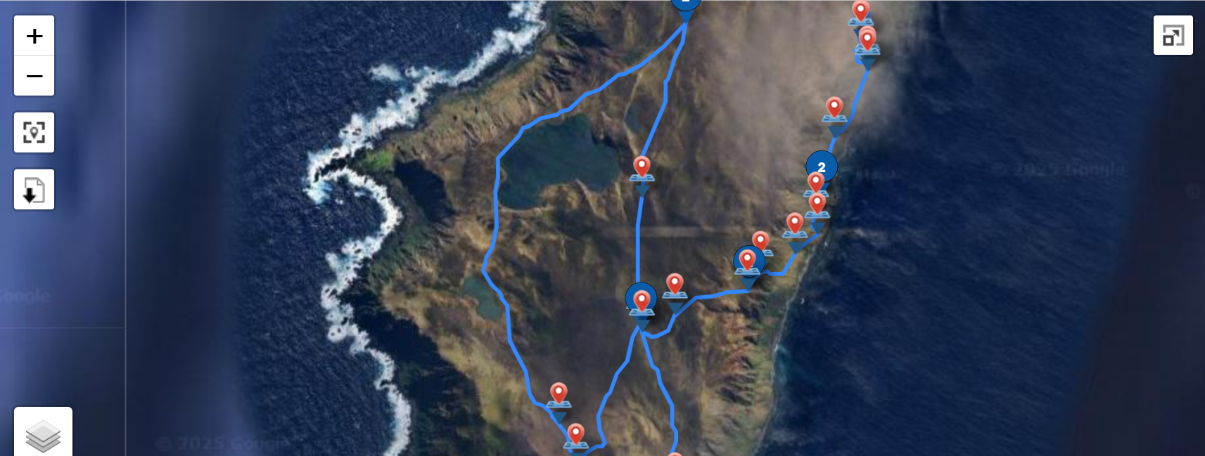
| Source: |
https://cmr.earthdata.nasa.gov/search/concepts/C1214311191-AU_AADC.html |
| Filename: |
Macquarie_Island_walking_tracks.zip |
Directions from Lingfield to Gatwick Airport (KMZ)
This file demonstrates the KMZ format showing a route.
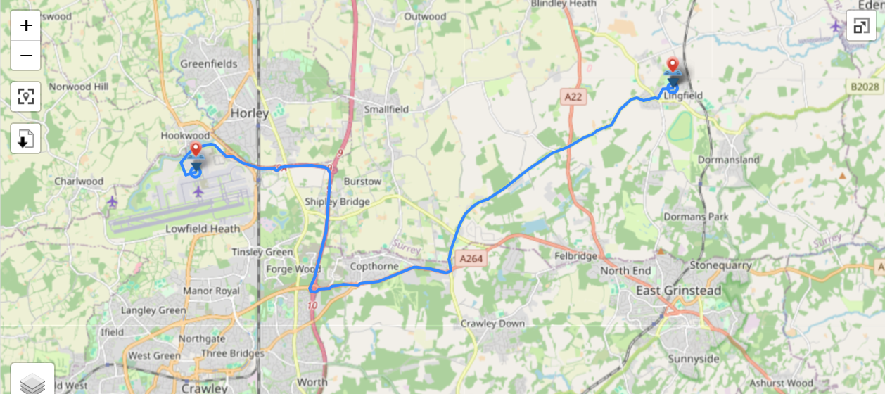
| Source: |
Created using My Google Maps. |
| Filename: |
Directions from Lingfield to London Gatwick Airport.kmz |
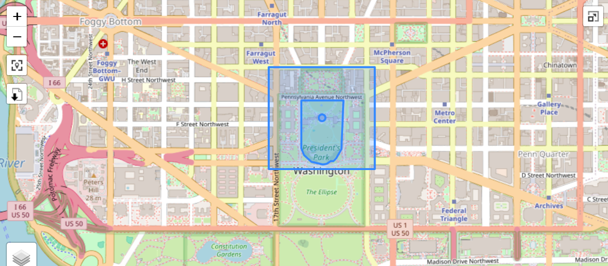
The Pentagon and White House (KMZ)
This file demonstrates the KMZ format showing shapes.
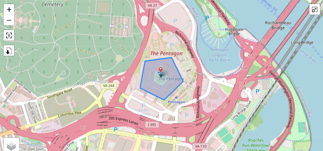
| Source: |
Created using Google Earth. |
| Filename: |
|